

Mother Nature whipped up some potentially dangerous storms in the KMMO listening area on Sunday, October 24.
The entire area was under a tornado watch for most of the afternoon and evening; and some areas- including Pettis and Cooper Counties- near Smithton, Bunceton and Pilot Grove- were under a tornado warning for a while.
According to the Cooper County Emergency Management Agency a Tornado Warning was issued for southeastern Pettis and Cooper Counties.
At 4:57 p.m., a severe thunderstorm capable of producing a tornado was located near Smithton, or near Sedalia, moving east at 45 mph.
Radar indicated rotation. Officials warned flying debris will be dangerous to those caught without shelter. Mobile homes will be damaged or destroyed. Damage to roofs, windows and vehicles will occur. Tree damage is likely.
Locations impacted included… Sedalia, Boonville, Pilot Grove, Smithton, Otterville, Bunceton, Prairie Home, Wooldridge, Sedalia Memorial Airport and Clifton City. That included I-70 between mile markers 102 and 114.
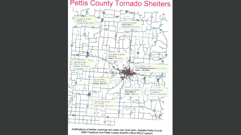
According to the Pettis County Sheriff’s Department, some damage was caused by high winds at Monsees Lake. According to the Sedalia-Pettis County Emergency Management Agency, the emergency storm shelters were open for a while for anybody who needed them. A link to a map of the storm shelters and more information at a link posted in this story on our local news page at kmmo.com and on our Facebook page.
At this time, KMMO News has not received any reports of injuries from the storms.